

FEWS NET

Food Security Early Warning Analytics

Automated evidence synthesis for faster, more consistent early warning assessments.

Project overview

What this project was built to help with

The FEWS NET work turns fragmented early-warning signals into a more consistent analytical workflow. Satellite imagery, market price data, and field reports are brought together for integrated food-security assessments, giving analysts a faster way to compare scenarios while keeping the evidence behind each classification visible for review.
Project story

Consistent synthesis for early warning decisions

FEWS NET analysts work with many kinds of evidence at once: satellite imagery, market price data, field reporting, livelihood context, and scenario assumptions. The project focused on reducing the friction of repeatedly gathering and synthesizing those signals while preserving the expert review that early warning requires.

Automated evidence synthesis helps analysts move faster through recurring assessment work and compare classifications across countries and scenarios. The goal is not to hide the evidence behind a label; it is to make the evidence easier to inspect. Analysts can see the signals that support a classification, review country context, and understand why a food-security risk is being flagged.

Example deliverables

Concrete outputs or working assets the project produced or supported.

Deliverable 01Automated synthesis workflow for food-security evidence
Deliverable 02Integrated use of satellite imagery, market prices, and field reports
Deliverable 03Scenario and country comparison support
Deliverable 04Reviewable evidence trail behind early warning classifications
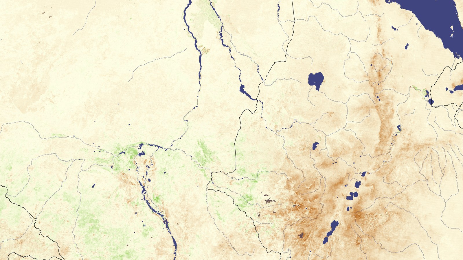
Dry agricultural landscape showing drought conditions

Decision problem

Food-security analysts work across satellite imagery, market prices, field reports, livelihood signals, and country context. The challenge is turning those fragmented signals into consistent early-warning classifications quickly enough to support response planning while still keeping the evidence behind each judgment visible.

What the work involved

1

Built automated evidence-synthesis tools that bring satellite imagery, market price data, and field reports into one integrated assessment workflow.

2

Supported faster and more consistent classifications across multiple countries and scenarios, reducing the burden of repeatedly assembling the same evidence base by hand.

3

Kept the underlying evidence available for analyst review so teams can compare scenarios, check assumptions, and understand why a risk classification is being produced.

Outcome

Faster, more consistent early warning classifications to protect vulnerable populations.

Evidence inputs

What the workflow brings together

Satellite imageryMarket price dataField reportsLivelihood and food-security signals

Review focus

What stays visible for human review

Classification consistency
Evidence strength
Country and scenario context

Talk with us about a similar workflow.

Bring one decision, report, review process, or evidence problem. We will help identify the smallest useful place to begin.

Start the conversationExplore AidInsight
Cookies

We use cookies to enhance your browsing experience on our website. By continuing to use our site, you consent to our use of cookies. For more information, please review our Privacy Policy.